SEEDS for Recovery Story Map featured in SDGs Today Collection
Unraveling humanitarian interventions in conflict-affected Syria’s Agriculture
Under SDG 2: Zero Hunger, SEEDS for Recovery story map was featured in SDGs Today storytelling collection. SDGs Today highlights real-time and timely data on the SDGs and offers education resources to support countries and institutions to produce, share and engage with the data to help ensure that the global goals are met by 2030.
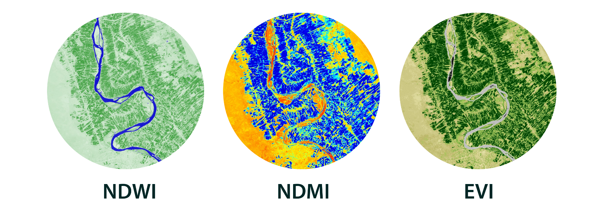
With a compelling narrative and informative maps, Dr. Hadi Jaafar along with research assistants Lara Sujud and Rim Hazimeh uncovered the effects of humanitarian interventions on agriculture in conflict-affected Syria using story maps technology. As part of the Esri ArcGIS StoryMaps community, the team explained the impact of the 2011-2017 Syrian war on agricultural production using remote sensing techniques. The story map was featured in SDGs Today storytelling hub under SDG 2 collection: Zero Hunger.
Story maps provide a new avenue to showcase scientific evidence-based projects, while integrating available, open-access GIS data.
SEEDS for Recovery evaluates the long-term impact of a complex agricultural intervention conducted by FAO in acutely conflict-affected Syria. The project, funded under the CEDIL– Centre of Excellence for Development Impact and Learning initiative, is a collaboration between ISDC and the American University of Beirut.
With ease of sharing via social media and ability to embed within websites, story maps serve as a versatile location-based storytelling tool for public engagement. Story maps use GIS tools (Geographic Information System) to combine geospatial data with text, photos, videos, and audios to visualize sequential events for nontechnical audiences with no prior experience with GIS software.
Earth observation products, including open-source datasets, provide timely data at a variety of spatial and temporal resolutions. Commonly, areas under conflict are inaccessible, which makes remote sensing technology an alternative to monitor agricultural metrics.

The published story map first introduces the Syrian crisis in numbers, and briefly goes over the dreadful consequences on internal displacement, loss in agricultural production, and severe food insecurity. Using advances in remote sensing technologies, the story map at its core unfolds the extent of improvements in agricultural production post-conflict restoration of pumping systems executed by FAO for irrigation purposes.
